
1962 Map of Eagle
USGS Topo · Published 1964About this map
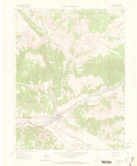
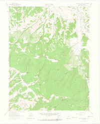
Eagle serves as the focal point of this early 1960s survey, situated along the Eagle River at the junction of several critical water and transportation corridors. The town's layout includes an Athletic Field and is framed by a complex network of agricultural and municipal water systems, including the Red Eagle Ditch and the Eagle and Rio Grande Western Aqueduct. The Denver and Rio Grande Western Railroad follows the river valley through a deep Canyon, illustrating the vital rail link between the western slope and the Continental Divide.
Find a feature on this map
43 named features on this map. Tap any name to fly to it.
Don’t see what you’re looking for? This feature index may not catch every label — zoom into the map to look around manually.
Map Details
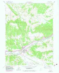
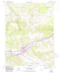
Editions of this 1962 Eagle Map
4 editions found
Other maps of this area

1957 · Leadville
USGS Topo · 1:250,000

1959 · Leadville
USGS Topo · 1:250,000

1960 · Leadville
USGS Topo · 1:250,000

1962 · Leadville
USGS Topo · 1:250,000

1962 · Gypsum
USGS Topo · 1:24,000
1962 · Suicide Mountain
USGS Topo · 1:24,000

1962 · Fulford
USGS Topo · 1:24,000

1962 · Wolcott
USGS Topo · 1:24,000
1962 · The Seven Hermits
USGS Topo · 1:24,000

1964 · Leadville
USGS Topo · 1:250,000