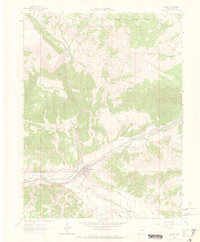
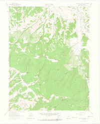
1962 Map of Eagle
USGS Topo · Published 1969About this map
Eagle sits at the confluence of the Eagle River and Brush Creek, serving as a central hub for ranching and transportation in the early 1960s. The landscape is defined by an intricate network of irrigation systems essential for high-altitude agriculture, including the Warren Red Cliff Ditch, Abrams Ditch, and Hernage Ditch. The Denver and Rio Grande Western railroad tracks follow the river valley, marking the vital industrial link through the Canyon to the east. Surrounding the valley, the terrain rises sharply toward the White River National Forest, where features like Greenhorn Mountain and Eiby Creek characterize the wilderness. Within the town limits, community life is anchored by the Athletic Field and Rodeo Ground, while the nearby Gravel Pit indicates local resource extraction supporting the area's development.
Find a feature on this map
45 named features on this map. Tap any name to fly to it.
Don’t see what you’re looking for? This feature index may not catch every label — zoom into the map to look around manually.
Map Details
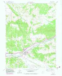
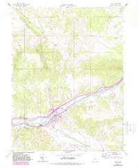
Editions of this 1962 Eagle Map
4 editions found
Other maps of this area

1957 · Leadville
USGS Topo · 1:250,000

1959 · Leadville
USGS Topo · 1:250,000

1960 · Leadville
USGS Topo · 1:250,000

1962 · Leadville
USGS Topo · 1:250,000

1962 · Gypsum
USGS Topo · 1:24,000
1962 · Suicide Mountain
USGS Topo · 1:24,000

1962 · Fulford
USGS Topo · 1:24,000

1962 · Wolcott
USGS Topo · 1:24,000

1962 · Eagle
USGS Topo · 1:24,000
1962 · The Seven Hermits
USGS Topo · 1:24,000