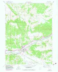
1962 Map of Eagle
USGS Topo · Published 1983About this map
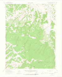
The town of Eagle serves as the central hub of this survey, situated where the Brush Creek valley meets the corridor of the Red Canyon and Eagle River. The landscape is defined by the high elevations of Greenhorn Mountain and the complex drainage systems of numerous gulches and creeks, including Skillman Gulch, Hockett Gulch, and Abrams Creek. Transportation infrastructure is highly visible, with the Denver and Rio Grande Western railroad paralleling the river, while a network of water management features like Noecker Reservoir and various unnamed ditches indicate the region's reliance on irrigation. Local roads and landmarks such as Wilkinson and Mathews provide specific points of reference for genealogists tracing family land holdings in the early 1960s, prior to later 20th-century expansions.
Find a feature on this map
39 named features on this map. Tap any name to fly to it.
Don’t see what you’re looking for? This feature index may not catch every label — zoom into the map to look around manually.
Map Details
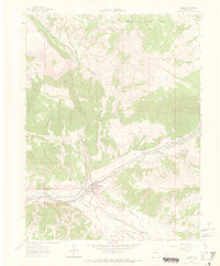
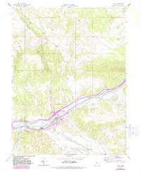
Editions of this 1962 Eagle Map
4 editions found
Other maps of this area

1957 · Leadville
USGS Topo · 1:250,000

1959 · Leadville
USGS Topo · 1:250,000

1960 · Leadville
USGS Topo · 1:250,000

1962 · Leadville
USGS Topo · 1:250,000

1962 · Gypsum
USGS Topo · 1:24,000
1962 · Suicide Mountain
USGS Topo · 1:24,000

1962 · Fulford
USGS Topo · 1:24,000

1962 · Wolcott
USGS Topo · 1:24,000

1962 · Eagle
USGS Topo · 1:24,000
1962 · The Seven Hermits
USGS Topo · 1:24,000