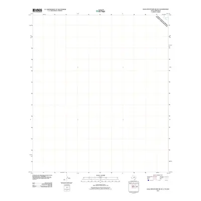
2010 Map of Eagle Mountains SW OE S
USGS Topo · Published 2010About this map
The Rio Grande flows through the extreme northeastern corner of this area, marking the international boundary between the United States of America and Estados Unidos Mexicanos. This 2010 topographic representation of the borderlands south of the Eagle Mountains emphasizes the open, arid geography where the river serves as the primary landmark. While the majority of the quadrangle covers the desert landscape of Chihuahua, the presence of the Rio Grande provides a critical orientation point for understanding the physical divide between Texas and Mexico. The map reflects a modern surveying era, utilizing data from the National Hydrography Dataset and the National Elevation Dataset to document the subtle shifts in the river's path and the surrounding terrain of the northern border region.
Find a feature on this map
2 named features on this map. Tap any name to fly to it.
Don’t see what you’re looking for? This feature index may not catch every label — zoom into the map to look around manually.
Map Details
Editions of this 2010 Eagle Mountains SW OE S Map
This is the sole edition of this map. No revisions or reprints were ever made.
Other maps of this area

1897 · Eagle Mountain
USGS Topo · 1:125,000

1916 · Eagle Mountain
USGS Topo · 1:125,000

1959 · Marfa
USGS Topo · 1:250,000

1965 · Marfa
USGS Topo · 1:250,000
1972 · Bramlett Ranch
USGS Topo · 1:24,000
1972 · Eagle Mountains SE
USGS Topo · 1:24,000
1972 · Indian Hot Springs
USGS Topo · 1:24,000
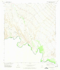
1972 · Eagle Mountains SW
USGS Topo · 1:24,000
1984 · Indian Hot Springs
USGS Topo · 1:100,000
1993 · Indian Hot Springs
USGS Topo · 1:100,000