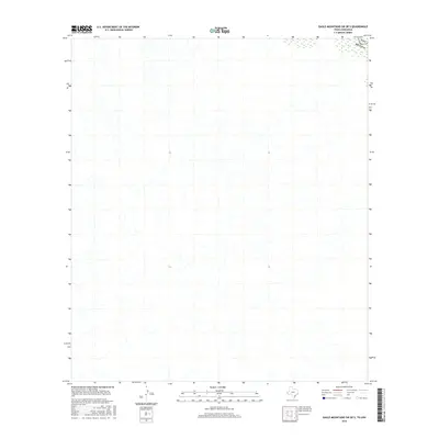
2016 Map of Eagle Mountains SW OE S
USGS Topo · Published 2016About this map
The international frontier defines this landscape, where the terrestrial boundary between Usa and Mexico passes through a remote stretch of desert terrain. This 2016 survey provides a modern topographic record of the hydrologic patterns and drainage systems that cross the border in this sparsely settled region. The lack of named settlements or transportation infrastructure within the quadrangle emphasizes the physical isolation of this borderland area. Instead, the map highlights the intricate network of arroyos and natural watercourses that dominate the topography, offering a clear view of the drainage basin as it crosses from the United States into Chihuahua. For researchers, the map serves as a primary source for understanding the modern topographic state of this specific section of the international line.
Find a feature on this map
1 named feature on this map. Tap any name to fly to it.
Don’t see what you’re looking for? This feature index may not catch every label — zoom into the map to look around manually.
Map Details
Editions of this 2016 Eagle Mountains SW OE S Map
This is the sole edition of this map. No revisions or reprints were ever made.
Other maps of this area

1897 · Eagle Mountain
USGS Topo · 1:125,000

1916 · Eagle Mountain
USGS Topo · 1:125,000

1959 · Marfa
USGS Topo · 1:250,000

1965 · Marfa
USGS Topo · 1:250,000
1972 · Bramlett Ranch
USGS Topo · 1:24,000
1972 · Eagle Mountains SE
USGS Topo · 1:24,000
1972 · Indian Hot Springs
USGS Topo · 1:24,000
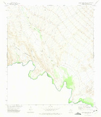
1972 · Eagle Mountains SW
USGS Topo · 1:24,000
1984 · Indian Hot Springs
USGS Topo · 1:100,000
1993 · Indian Hot Springs
USGS Topo · 1:100,000