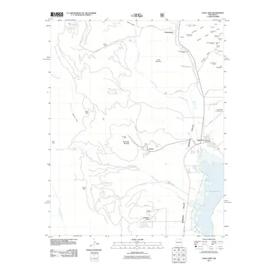
2011 Map of Eagle Nest
USGS Topo · Published 2011About this map
Moreno Valley serves as the central corridor for this 2011 survey, where high-altitude ranching and recreation meet a deep history of resource extraction. The sprawling Eagle Nest Lake dominates the southeast, while the settlement of Eagle Nest clusters near the junction of Colfax Rd and the Eagle Nest Post Office. To the north, the legacy of the gold rush era is visible in the cluster of mining claims and old town sites like Elizabethtown, Klondyke, and Lucia.
Find a feature on this map
71 named features on this map. Tap any name to fly to it.
Don’t see what you’re looking for? This feature index may not catch every label — zoom into the map to look around manually.
Map Details
Editions of this 2011 Eagle Nest Map
This is the sole edition of this map. No revisions or reprints were ever made.
Other maps of this area

1954 · Raton
USGS Topo · 1:250,000

1955 · Ute Park
USGS Topo · 1:62,500

1956 · Tooth Of Time
USGS Topo · 1:62,500

1958 · Raton
USGS Topo · 1:250,000

1963 · Wheeler Peak
USGS Topo · 1:24,000

1963 · Eagle Nest
USGS Topo · 1:24,000

1963 · Red River Pass
USGS Topo · 1:24,000

1963 · Red River
USGS Topo · 1:24,000

1965 · Palo Flechado Pass
USGS Topo · 1:24,000

1965 · Pueblo Peak
USGS Topo · 1:24,000