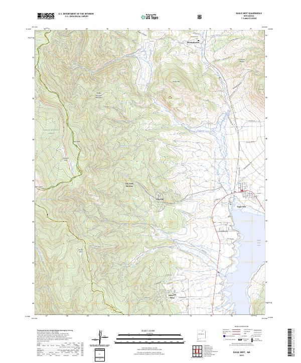
2023 Map of Eagle Nest
USGS Topo · Published 2023About this map
The high-altitude Moreno Valley of Colfax County and Taos County is anchored by the waters of Eagle Nest Lake. This modern survey illustrates the proximity of the Sangre de Cristo Mountains to the historic gold-mining site of Elizabethtown, where the Elizabethtown Cem remains on a hillside above Moreno Creek. To the west, the steep slopes of the Wheeler Peak Wilderness and Carson National Forest dominate the terrain, featuring landmarks like Taos Peak and the Val Verde Ski Area. The settlement of Eagle Nest sits at a critical junction of mountain roads, while smaller communities like Idlewild and Lakeview Pines are situated along the valley floor. Water drainage is defined by numerous gulches and creeks, including Humbug Gulch and Comanche Creek, reflecting the area's long-standing connection to both hydraulic mining history and modern recreation.
Find a feature on this map
60 named features on this map. Tap any name to fly to it.
Don’t see what you’re looking for? This feature index may not catch every label — zoom into the map to look around manually.
Map Details
Editions of this 2023 Eagle Nest Map
This is the sole edition of this map. No revisions or reprints were ever made.
Other maps of this area

1954 · Raton
USGS Topo · 1:250,000

1955 · Ute Park
USGS Topo · 1:62,500

1956 · Tooth Of Time
USGS Topo · 1:62,500

1958 · Raton
USGS Topo · 1:250,000

1963 · Wheeler Peak
USGS Topo · 1:24,000

1963 · Eagle Nest
USGS Topo · 1:24,000

1963 · Red River Pass
USGS Topo · 1:24,000

1963 · Red River
USGS Topo · 1:24,000

1965 · Palo Flechado Pass
USGS Topo · 1:24,000

1965 · Pueblo Peak
USGS Topo · 1:24,000