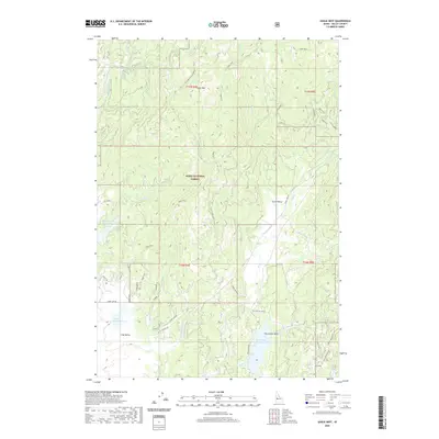
2020 Map of Eagle Nest
USGS Topo · Published 2020About this map
Boise National Forest dominates this section of Valley County, where the high country of the West Mountains meets the expansive drainage of Long Valley. The landscape is defined by its water resources, featuring a series of catchments including Horsethief Reservoir, Calendar Reservoir, and Davis Reservoir. These reservoirs, coupled with the winding courses of Big Cr and Pearsol Cr, illustrate the complex irrigation and water management required for the surrounding basin.
Find a feature on this map
44 named features on this map. Tap any name to fly to it.
Don’t see what you’re looking for? This feature index may not catch every label — zoom into the map to look around manually.
Map Details
Editions of this 2020 Eagle Nest Map
This is the sole edition of this map. No revisions or reprints were ever made.
Other maps of this area

1894 · Squaw Creek
USGS Topo · 1:125,000

1909 · Garden Valley
USGS Topo · 1:125,000

1911 · Meadows
USGS Topo · 1:125,000

1953 · Smiths Ferry
USGS Topo · 1:62,500

1953 · Boiling Springs
USGS Topo · 1:62,500

1954 · Gold Fork
USGS Topo · 1:62,500

1954 · Cascade
USGS Topo · 1:62,500

1955 · Baker
USGS Topo · 1:250,000

1957 · Challis
USGS Topo · 1:250,000

1959 · Baker
USGS Topo · 1:250,000