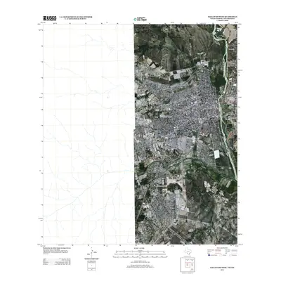
2012 Map of Eagle Pass West
USGS Topo · Published 2012About this map
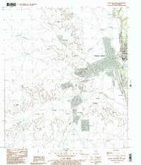
The Rio Grande serves as the central focal point of this 2012 survey, tracing the international boundary where water and commerce meet. On the Texas side, the urban development of Eagle Pass is evident through a grid of established thoroughfares including S Adams St and S Monroe St, alongside institutional landmarks like the Sw Sch Of Business And Technical Careers. To the north, the landscape transitions into a more rural character defined by family-named settlements and geographic markers such as J Ritche, F Ritche, and P Debonner. These small residential clusters near the junction of Elm Cr and Seco Cr illustrate the persistent pattern of settlement along the river's fertile edge and secondary drainage basins. The presence of Industrial Blvd suggests the modern economic activity fueling the region's growth during this era.
Find a feature on this map
12 named features on this map. Tap any name to fly to it.
Don’t see what you’re looking for? This feature index may not catch every label — zoom into the map to look around manually.
Map Details
Editions of this 2012 Eagle Pass West Map
This is the sole edition of this map. No revisions or reprints were ever made.
Other maps of this area

1940 · Eagle Pass
USGS Topo · 1:62,500

1940 · Paloma
USGS Topo · 1:62,500

1940 · Quemado
USGS Topo · 1:62,500

1958 · Eagle Pass
USGS Topo · 1:250,000

1965 · Eagle Pass
USGS Topo · 1:250,000
1974 · Deadmans Hill
USGS Topo · 1:24,000
1974 · Quemado SE
USGS Topo · 1:24,000
1983 · Eagle Pass East
USGS Topo · 1:24,000
1983 · Eagle Pass West
USGS Topo · 1:24,000
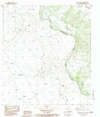
1983 · Eagle Pass SW
USGS Topo · 1:24,000