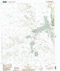
1983 Map of Eagle Pass West
USGS Topo · Published 1983About this map
The international border between Mexico and the United States defines this landscape, as the Rio Grande Rio Bravo separates the Texas community of Eagle Pass from the expansive grid of Piedras Negras in Coahuila. This 1983 provisional survey illustrates the close proximity of these two sister cities, with the river serving as both a barrier and a unifying geographical feature. While the Texas side shows the dense development of Maverick County, the Mexican portion of the sheet reveals a series of named settlements and rural colonias clustered along the Rio Escondido and its surrounding drainage.
Find a feature on this map
38 named features on this map. Tap any name to fly to it.
Don’t see what you’re looking for? This feature index may not catch every label — zoom into the map to look around manually.
Map Details
Editions of this 1983 Eagle Pass West Map
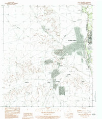
2 editions found
Other maps of this area

1940 · Eagle Pass
USGS Topo · 1:62,500

1940 · Paloma
USGS Topo · 1:62,500

1940 · Quemado
USGS Topo · 1:62,500

1958 · Eagle Pass
USGS Topo · 1:250,000

1965 · Eagle Pass
USGS Topo · 1:250,000
1974 · Deadmans Hill
USGS Topo · 1:24,000
1974 · Quemado SE
USGS Topo · 1:24,000
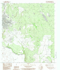
1983 · Eagle Pass East
USGS Topo · 1:24,000
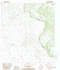
1983 · Eagle Pass SW
USGS Topo · 1:24,000
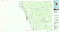
1985 · Eagle Pass
USGS Topo · 1:100,000