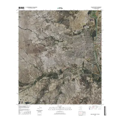
2016 Map of Eagle Pass West
USGS Topo · Published 2016About this map
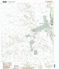
Rio Grande waters define the international boundary on this 2016 survey, where the city of Eagle Pass serves as a critical point of connection between the United States of America and Estados Unidos Mexicanos. The map documents the urban layout of this border community, including the residential and commercial areas of Eidson Road and Seco Mines. The street grid in the downtown district reflects the city's historical development along the river, with names like Church St and Ferry St hinting at the established crossing points and community centers that have long shaped this part of Maverick Co. Most of the landscape on this western sheet consists of open terrain drained by Seco Cr, showing the sharp contrast between the dense development adjacent to the international bridges and the rural reaches of South Texas.
Find a feature on this map
22 named features on this map. Tap any name to fly to it.
Don’t see what you’re looking for? This feature index may not catch every label — zoom into the map to look around manually.
Map Details
Editions of this 2016 Eagle Pass West Map
This is the sole edition of this map. No revisions or reprints were ever made.
Other maps of this area

1940 · Eagle Pass
USGS Topo · 1:62,500

1940 · Paloma
USGS Topo · 1:62,500

1940 · Quemado
USGS Topo · 1:62,500

1958 · Eagle Pass
USGS Topo · 1:250,000

1965 · Eagle Pass
USGS Topo · 1:250,000
1974 · Deadmans Hill
USGS Topo · 1:24,000
1974 · Quemado SE
USGS Topo · 1:24,000
1983 · Eagle Pass East
USGS Topo · 1:24,000
1983 · Eagle Pass West
USGS Topo · 1:24,000
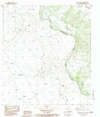
1983 · Eagle Pass SW
USGS Topo · 1:24,000