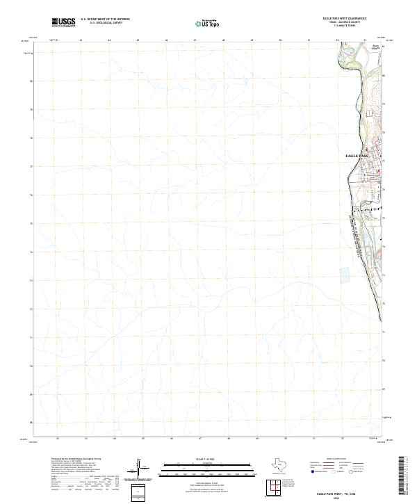
2022 Map of Eagle Pass West
USGS Topo · Published 2022About this map
The Rio Grande serves as the international boundary between the United States of America and Mexico along the eastern edge of this Maverick County survey. The urban core of Eagle Pass is the primary focus, concentrated along the riverbanks with a dense grid of streets including Main St, Commercial St, and E Garrison St. This layout reflects the community's historical development as a critical border crossing and trade hub.
Find a feature on this map
21 named features on this map. Tap any name to fly to it.
Don’t see what you’re looking for? This feature index may not catch every label — zoom into the map to look around manually.
Map Details
Editions of this 2022 Eagle Pass West Map
This is the sole edition of this map. No revisions or reprints were ever made.
Other maps of this area

1940 · Eagle Pass
USGS Topo · 1:62,500

1940 · Paloma
USGS Topo · 1:62,500

1940 · Quemado
USGS Topo · 1:62,500

1958 · Eagle Pass
USGS Topo · 1:250,000

1965 · Eagle Pass
USGS Topo · 1:250,000
1974 · Deadmans Hill
USGS Topo · 1:24,000
1974 · Quemado SE
USGS Topo · 1:24,000
1983 · Eagle Pass East
USGS Topo · 1:24,000
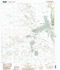
1983 · Eagle Pass West
USGS Topo · 1:24,000
1983 · Eagle Pass SW
USGS Topo · 1:24,000