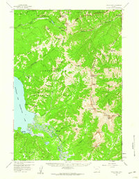
1959 Map of Eagle Peak
USGS Topo · Published 1960About this map
The high peaks of the Absaroka Range dominate this 1959 survey, marking the intersection of Yellowstone National Park and the Shoshone National Forest. The map documents a primitive backcountry landscape before modern infrastructure reached deep into the wilderness. Remote administrative outposts like the Cabin Creek Patrol Cabin and Trail Creek Patrol Cabin are shown along established routes like the Thorofare Trail, providing a look at the National Park Service's early management of these interior regions. The complex hydrology of the Two Ocean Plateau and the braided delta where the Yellowstone River enters the Southeast Arm of Yellowstone Lake are rendered in fine detail. Notable summits including Eagle Peak, Mt Schurz, and Mt Doane provide orientation points for this survey of the continental divide's high country.
Find a feature on this map
57 named features on this map. Tap any name to fly to it.
Don’t see what you’re looking for? This feature index may not catch every label — zoom into the map to look around manually.
Map Details
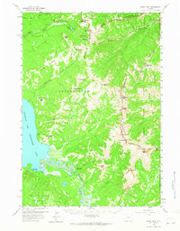
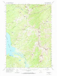
Editions of this 1959 Eagle Peak Map
3 editions found
Other maps of this area

1885 · Lake
USGS Topo · 1:125,000

1886 · Canyon
USGS Topo · 1:125,000

1893 · Ishawooa
USGS Topo · 1:125,000

1895 · Ishawooa
USGS Topo · 1:125,000

1895 · Canyon
USGS Topo · 1:125,000

1895 · Lake
USGS Topo · 1:125,000

1896 · Lake
USGS Topo · 1:125,000

1896 · Canyon
USGS Topo · 1:125,000

1896 · Crandall Creek
USGS Topo · 1:125,000

1899 · Crandall
USGS Topo · 1:125,000