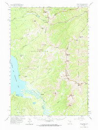
1959 Map of Eagle Peak
USGS Topo · Published 1965About this map
Yellowstone Lake and the Absaroka Range dominate this mid-century topographic survey of the wilderness bordering the Shoshone National Forest. The landscape is defined by the high-altitude hydrology of the Southest Arm and the winding Yellowstone River as it traverses the Two Ocean Plateau. The human footprint is sparse and administrative, characterized by isolated outposts such as the East Entrance Ranger Station and remote backcountry shelters like the Trail Creek Patrol Cabin and Cabin Creek Patrol Cabin.
Find a feature on this map
54 named features on this map. Tap any name to fly to it.
Don’t see what you’re looking for? This feature index may not catch every label — zoom into the map to look around manually.
Map Details
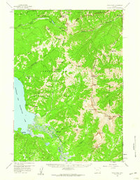
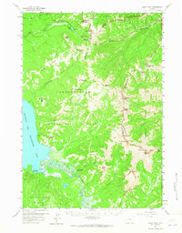
Editions of this 1959 Eagle Peak Map
3 editions found
Other maps of this area

1885 · Lake
USGS Topo · 1:125,000

1886 · Canyon
USGS Topo · 1:125,000

1893 · Ishawooa
USGS Topo · 1:125,000

1895 · Ishawooa
USGS Topo · 1:125,000

1895 · Canyon
USGS Topo · 1:125,000

1895 · Lake
USGS Topo · 1:125,000

1896 · Lake
USGS Topo · 1:125,000

1896 · Canyon
USGS Topo · 1:125,000

1896 · Crandall Creek
USGS Topo · 1:125,000

1899 · Crandall
USGS Topo · 1:125,000