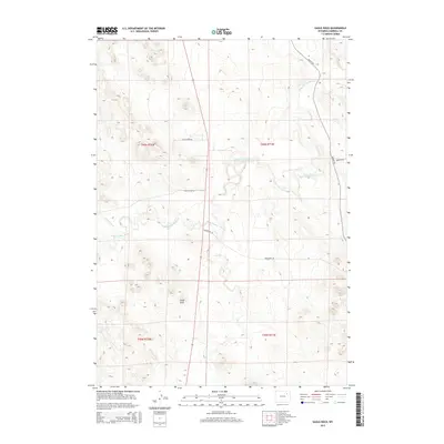
2015 Map of Eagle Rock
USGS Topo · Published 2015About this map
The Belle Fourche River winds through this high-plains landscape in Campbell County, establishing the primary drainage for the surrounding basins. This 2015 survey reveals a terrain defined by subtle elevation changes and the namesake Eagle Rock, a distinct landmark in the southern portion of the quadrangle. The area's infrastructure consists of a sparsely distributed network of rural thoroughfares, including Hilight Rd and Hoadley Rd, which follow the natural contours of the land. Waterways like Threemile Cr and Hay Cr feed into the Belle Fourche, illustrating the hydrological pattern of this ranching and grazing region. The map captures a moment of modern land management, showing how established family-named routes such as Wagensen Rd and Rattlesnake Rd provide access through the vast open spaces of northeastern Wyoming.
Find a feature on this map
13 named features on this map. Tap any name to fly to it.
Don’t see what you’re looking for? This feature index may not catch every label — zoom into the map to look around manually.
Map Details
Editions of this 2015 Eagle Rock Map
This is the sole edition of this map. No revisions or reprints were ever made.
Other maps of this area

1954 · Gillette
USGS Topo · 1:250,000

1955 · Newcastle
USGS Topo · 1:250,000

1955 · Gillette
USGS Topo · 1:250,000

1958 · Gillette
USGS Topo · 1:250,000

1958 · Newcastle
USGS Topo · 1:250,000

1959 · North Star School
USGS Topo · 1:62,500

1962 · Gillette
USGS Topo · 1:250,000

1971 · Scaper Reservoir
USGS Topo · 1:24,000

1971 · The Gap SW
USGS Topo · 1:24,000

1971 · Reno Junction
USGS Topo · 1:24,000