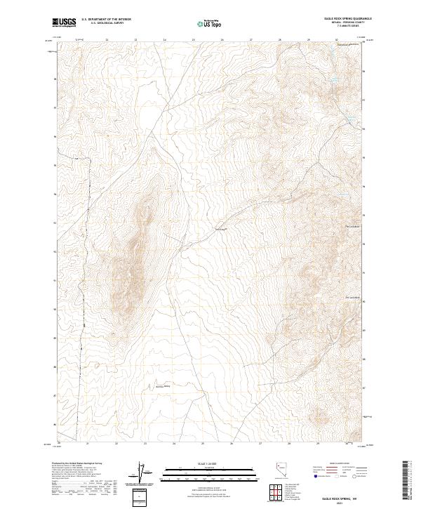
2021 Map of Eagle Rock Spring
USGS Topo · Published 2021About this map
The Sheephead Mountains define the high ground of this desert landscape in Pershing County, Nevada, where water remains the most critical marker of the terrain. Vital water sources such as Eagle Rock Spring, Mustang Spring, and Trail Springs appear along the mountain flanks, serving as historical landmarks in an otherwise arid region. The eastern portion of the sheet is dominated by the volcanic features of The Lava Beds and Lava Beds Cr, while the southwestern corner transitions into the open expanse of the Kumiva Valley. This topography, mapped with data from the U.S. Geological Survey and the BLM, highlights the complex relationship between reliable springs and the travel corridors through Trail Canyon. The map records a modern view of a landscape where traditional grazing and exploration routes continue to depend on these ancient geological features.
Find a feature on this map
16 named features on this map. Tap any name to fly to it.
Don’t see what you’re looking for? This feature index may not catch every label — zoom into the map to look around manually.
Map Details
Editions of this 2021 Eagle Rock Spring Map
This is the sole edition of this map. No revisions or reprints were ever made.
Other maps of this area

1886 · Granite Range
USGS Topo · 1:250,000

1894 · Granite Range
USGS Topo · 1:250,000

1931 · Lovelock
USGS Topo · 1:250,000

1935 · Lovelock
USGS Topo · 1:250,000

1955 · Lovelock
USGS Topo · 1:250,000

1959 · Lovelock
USGS Topo · 1:250,000

1980 · Dry Mountain NW
USGS Topo · 1:24,000

1980 · Eagle Rock Spring
USGS Topo · 1:24,000

1980 · Dry Mountain
USGS Topo · 1:24,000

1980 · Tenmile
USGS Topo · 1:24,000