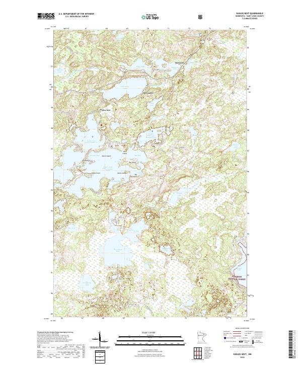
2022 Map of Eagles Nest
USGS Topo · Published 2022About this map
Armstrong Lake and the interconnected waters of the Eagles Nest chain dominate this portion of the Iron Range landscape. The map details a complex hydrography where small settlements like Eagles Nest and McComber are defined by their proximity to the Armstrong River and various lake basins. The presence of the Superior National Forest in the southeast corner and the extensive David Dill-Taconite State Trl highlights a region deeply integrated with public lands and recreational access. Shoreline features such as Stocking Point and Howes Point on Eagles Nest Lake Number Two indicate the localized geography of the lake-country community. Numerous portages and trails, including the Holter Portage Trl and Becky Lake Trl, illustrate the historical and modern importance of overland connections between these northern water bodies.
Find a feature on this map
73 named features on this map. Tap any name to fly to it.
Don’t see what you’re looking for? This feature index may not catch every label — zoom into the map to look around manually.
Map Details
Editions of this 2022 Eagles Nest Map
This is the sole edition of this map. No revisions or reprints were ever made.
Other maps of this area

1933 · Ely
USGS Topo · 1:62,500

1939 · Ely
USGS Topo · 1:62,500

1949 · Isaac Lake
USGS Topo · 1:24,000

1949 · Embarrass
USGS Topo · 1:24,000

1950 · Isaac Lake
USGS Topo · 1:24,000

1950 · Embarrass
USGS Topo · 1:24,000

1951 · Babbitt
USGS Topo · 1:24,000

1954 · Two Harbors
USGS Topo · 1:250,000

1954 · Hibbing
USGS Topo · 1:250,000

1956 · Chad Lake
USGS Topo · 1:24,000
Featured Places
- Eagles Nest, MN
- Eagles Nest Township, MN
- Bear Head Lake, MN
- Birch Lake (Unorganized Territory), MN
- Morse Township, MN