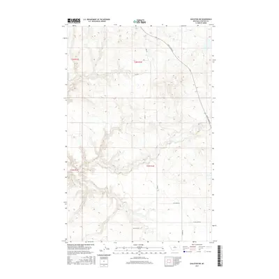
2017 Map of Eagleton NW
USGS Topo · Published 2017About this map
Judith Landing Rd and Hopp Rd traverse the expansive high plains of Chouteau County, where the landscape is defined by the drainage patterns of Eagle Cr. The topography here is marked by significant elevation changes, particularly in the northern reaches where the terrain falls away toward the Judith River valley. Small rural settlements or ranching hubs like Butler punctuate the grid, while the road network reflects the agricultural and pastoral priorities of the region. Local travel is facilitated by corridors such as Eagle Butte Rd and the intersections at Five Corner Rd and 5 Corner Rd, providing a detailed look at the rural infrastructure of central Montana as it existed in 2017.
Find a feature on this map
12 named features on this map. Tap any name to fly to it.
Don’t see what you’re looking for? This feature index may not catch every label — zoom into the map to look around manually.
Map Details
Editions of this 2017 Eagleton NW Map
This is the sole edition of this map. No revisions or reprints were ever made.
Other maps of this area

1890 · Fort Benton
USGS Topo · 1:250,000

1892 · Fort Benton
USGS Topo · 1:250,000

1897 · Fort Benton
USGS Topo · 1:250,000

1919 · Big Sandy
USGS Topo · 1:125,000

1953 · Eagle Buttes
USGS Topo · 1:24,000

1953 · Lonetree Coulee
USGS Topo · 1:24,000

1953 · Pilot Rock
USGS Topo · 1:24,000

1953 · Havre
USGS Topo · 1:250,000

1954 · Great Falls
USGS Topo · 1:250,000

1954 · Iliad
USGS Topo · 1:24,000