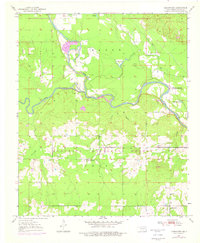
1981 Map of Eagletown
USGS Topo · Published 1981About this map
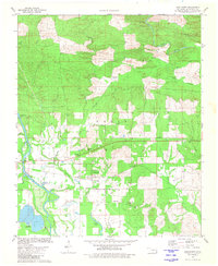
Eagletown serves as the focal point of this southeastern Oklahoma landscape, situated where the Texas and Oklahoma and Eastern routes intersect. The town's community structure is anchored by St Matthew Ch, St Paul Ch, and the Mtn Peak Ch, with local heritage preserved at the Eagletown Cem and Tonka Cem. To the north, the terrain transitions into open spaces like Winship Prairie and Racetrack Prairie, while the southwestern corner is dominated by the broad course of the Mountain Fork river and the notable Presbyterian Falls.
Find a feature on this map
31 named features on this map. Tap any name to fly to it.
Don’t see what you’re looking for? This feature index may not catch every label — zoom into the map to look around manually.
Map Details
Editions of this 1981 Eagletown Map
This is the sole edition of this map. No revisions or reprints were ever made.
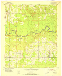
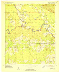
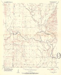
Other maps of this area
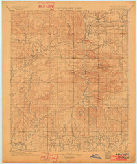
1902 · Lukfata
USGS Topo · 1:125,000
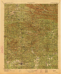
1913 · De Queen
USGS Topo · 1:125,000

1950 · Mcalester
USGS Topo · 1:250,000
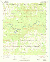
1950 · Shults
USGS Topo · 1:24,000
1950 · Goodwater
USGS Topo · 1:24,000
1951 · Shults
USGS Topo · 1:24,000
1951 · Goodwater
USGS Topo · 1:24,000
1951 · Cerrogordo
USGS Topo · 1:24,000

1953 · Texarkana
USGS Topo · 1:250,000

1956 · Texarkana
USGS Topo · 1:250,000