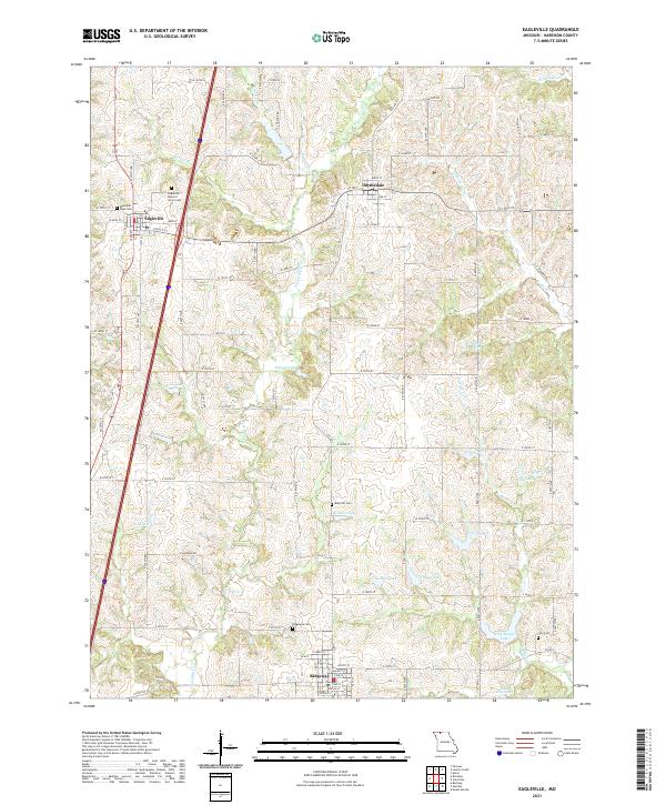
2021 Map of Eagleville
USGS Topo · Published 2021About this map
The headwaters of the E Fork Big Cr and Panther Cr carve through this section of Harrison County, where the high divides are home to the small agricultural centers of Eagleville, Blythedale, and Ridgeway. For genealogists and local historians, the sheet is an essential record of rural community landmarks, documenting the Eagleville Masonic Union Cem and Rose Hill Cem, alongside the Memorial West Cem. The landscape is notably dotted with numerous small bodies of water such as Gibson Lake, Hendren Lake, and Rock House Lake, which suggest a developed system of local stock ponds and private reservoirs. A tight grid of township roads, including the named E Concord Rd and E Freedom Rd, connects these scattered settlements across the undulating divide between the Big Creek and Brush Creek drainage basins.
Find a feature on this map
69 named features on this map. Tap any name to fly to it.
Don’t see what you’re looking for? This feature index may not catch every label — zoom into the map to look around manually.
Map Details
Editions of this 2021 Eagleville Map
This is the sole edition of this map. No revisions or reprints were ever made.
Other maps of this area

1945 · Mount Ayr
USGS Topo · 1:62,500

1945 · Lamoni
USGS Topo · 1:62,500

1947 · Lamoni
USGS Topo · 1:62,500

1947 · Blythedale
USGS Topo · 1:62,500

1947 · Mount Ayr
USGS Topo · 1:62,500

1948 · Bethany
USGS Topo · 1:62,500

1954 · Centerville
USGS Topo · 1:250,000

1955 · Nebraska City
USGS Topo · 1:250,000

1957 · Nebraska City
USGS Topo · 1:250,000

1957 · Centerville
USGS Topo · 1:250,000