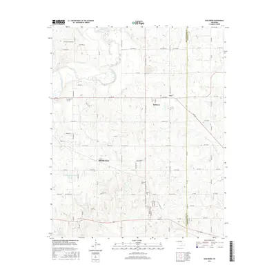
2016 Map of Earlsboro
USGS Topo · Published 2016About this map
Earlsboro and the eastern edge of Shawnee define the landscape of this 2016 survey, situated along the border of Pottawatomie and Seminole Counties. The geography is characterized by the meandering North Canadian River to the northwest and several significant tributaries, including Turkey Creek and Wewoka Creek. Historically oriented researchers will find numerous rural landmarks, such as Neal Cemetery and Earlsboro Cemetery, which serve as vital points for genealogical study in this part of Oklahoma. The transition between the city of Shawnee and the small town of Earlsboro is marked by a grid of rural roads like Benson Park and Bob Crouch Road, alongside unique landmarks such as Artist Point and the Oknoname 12508 Reservoir. The map illustrates the contemporary settlement patterns where historic rural hubs meet modern infrastructure.
Find a feature on this map
77 named features on this map. Tap any name to fly to it.
Don’t see what you’re looking for? This feature index may not catch every label — zoom into the map to look around manually.
Map Details
Editions of this 2016 Earlsboro Map
This is the sole edition of this map. No revisions or reprints were ever made.
Other maps of this area

1896 · Seminole and Prague
USGS Topo · 1:125,000

1907 · Maud
USGS Topo · 1:62,500

1908 · Maud
USGS Topo · 1:62,500

1909 · Shawnee
USGS Topo · 1:62,500

1954 · Oklahoma City
USGS Topo · 1:250,000

1957 · Oklahoma City
USGS Topo · 1:250,000

1963 · Oklahoma City
USGS Topo · 1:250,000

1967 · Prague SW
USGS Topo · 1:24,000
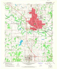
1967 · Shawnee
USGS Topo · 1:24,000
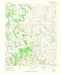
1967 · Earlsboro
USGS Topo · 1:24,000