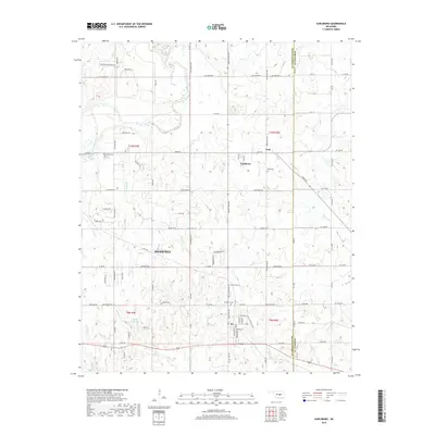
2018 Map of Earlsboro
USGS Topo · Published 2018About this map
The North Canadian River winds through the northwestern corner of this territory, defining a landscape of creek valleys and section-line roads on the border of Pottawatomie and Seminole counties. The town of Earlsboro sits at the heart of the map, established along a grid that fans out into the surrounding countryside. This 2018 survey reveals a network of rural homesteads and local infrastructure, including several community focal points like the Earlsboro Cem and Neal Cem which serve as vital landmarks for genealogists and local historians.
Find a feature on this map
77 named features on this map. Tap any name to fly to it.
Don’t see what you’re looking for? This feature index may not catch every label — zoom into the map to look around manually.
Map Details
Editions of this 2018 Earlsboro Map
This is the sole edition of this map. No revisions or reprints were ever made.
Other maps of this area

1896 · Seminole and Prague
USGS Topo · 1:125,000

1907 · Maud
USGS Topo · 1:62,500

1908 · Maud
USGS Topo · 1:62,500

1909 · Shawnee
USGS Topo · 1:62,500

1954 · Oklahoma City
USGS Topo · 1:250,000

1957 · Oklahoma City
USGS Topo · 1:250,000

1963 · Oklahoma City
USGS Topo · 1:250,000

1967 · Prague SW
USGS Topo · 1:24,000
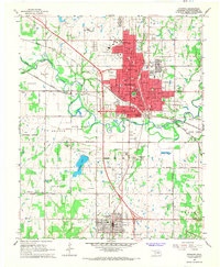
1967 · Shawnee
USGS Topo · 1:24,000
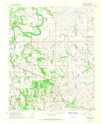
1967 · Earlsboro
USGS Topo · 1:24,000