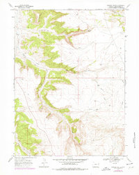
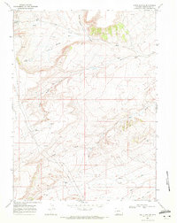
1968 Map of Earnest Butte
USGS Topo · Published 1978About this map
Earnest Butte stands as the primary landmark in this high desert landscape of Sweetwater County, where the topography is defined by intricate drainages and seasonal water sources. The 1968 field survey, later updated in the late 1970s, reveals a network of ephemeral watercourses including Bitter Creek, Worm Creek, and Circle Creek that have carved deep features like Dry Canyon and Burnt Canyon. These geographic labels reflect the arid character of the region, punctuated only by vital watering points such as Dry Canyon Spring, South Spring, and a lone unnamed Spring.
Find a feature on this map
16 named features on this map. Tap any name to fly to it.
Don’t see what you’re looking for? This feature index may not catch every label — zoom into the map to look around manually.
Map Details
Editions of this 1968 Earnest Butte Map
2 editions found
Other maps of this area

1954 · Rock Springs
USGS Topo · 1:250,000

1957 · Currant Creek Ranch
USGS Topo · 1:62,500

1957 · Firehole Basin
USGS Topo · 1:62,500

1958 · Rock Springs
USGS Topo · 1:250,000

1962 · Rock Springs
USGS Topo · 1:250,000
1963 · Maxon Ranch
USGS Topo · 1:24,000
1963 · Titsworth Gap
USGS Topo · 1:24,000

1966 · Firehole Basin
USGS Topo · 1:62,500

1966 · Currant Creek Ranch
USGS Topo · 1:62,500
1968 · South Baxter
USGS Topo · 1:24,000