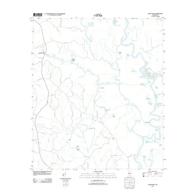
2012 Map of Easen Hill
USGS Topo · Published 2012About this map
The Pascagoula River snakes through this Mississippi landscape, creating a complex network of oxbows and secondary waterways such as Ferrell Dead River and Dogged Dead River. The river's influence is evident in the numerous named lakes and sloughs, including Goggle Eye Lake, Duck Roost, and Sandy Slough, which dominate the eastern half of the area. On the higher ground to the west, family-named landmarks and small settlements like Holly Landing and Easen Hill provide key points of reference for local history.
Find a feature on this map
99 named features on this map. Tap any name to fly to it.
Don’t see what you’re looking for? This feature index may not catch every label — zoom into the map to look around manually.
Map Details
Editions of this 2012 Easen Hill Map
This is the sole edition of this map. No revisions or reprints were ever made.
Other maps of this area

1941 · Vancleave
USGS Topo · 1:62,500

1941 · Lucedale
USGS Topo · 1:62,500

1943 · Lucedale
USGS Topo · 1:62,500

1943 · Vancleave
USGS Topo · 1:62,500

1944 · Vancleave
USGS Topo · 1:62,500

1947 · Benndale
USGS Topo · 1:62,500

1949 · Benndale
USGS Topo · 1:62,500

1953 · Mobile
USGS Topo · 1:250,000

1954 · Vestry
USGS Topo · 1:62,500

1957 · Mobile
USGS Topo · 1:250,000