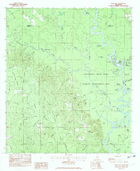
1982 Map of Easen Hill
USGS Topo · Published 1983About this map
The Pascagoula River meanders through this landscape on the border of George and Jackson Counties, defining a region dominated by bottomlands and complex waterways. The vast Pascagoula River State Wildlife Management Area covers much of the eastern half, characterized by oxbow lakes and "dead rivers" such as Ferrell Dead River, Dogged Dead River, and Stead Dead River. These formations illustrate the ever-shifting nature of the river system over time.
Find a feature on this map
79 named features on this map. Tap any name to fly to it.
Don’t see what you’re looking for? This feature index may not catch every label — zoom into the map to look around manually.
Map Details
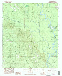
Editions of this 1982 Easen Hill Map
2 editions found
Other maps of this area

1941 · Vancleave
USGS Topo · 1:62,500

1941 · Lucedale
USGS Topo · 1:62,500

1943 · Lucedale
USGS Topo · 1:62,500

1943 · Vancleave
USGS Topo · 1:62,500

1944 · Vancleave
USGS Topo · 1:62,500

1947 · Benndale
USGS Topo · 1:62,500

1949 · Benndale
USGS Topo · 1:62,500

1953 · Mobile
USGS Topo · 1:250,000

1954 · Vestry
USGS Topo · 1:62,500

1957 · Mobile
USGS Topo · 1:250,000