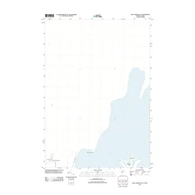
2012 Map of East Alburg OE N
USGS Topo · Published 2012About this map
The northern waters of the Missisquoi River dominate this borderland landscape, where the river splits into the W Br Missisquoi River and E Br Missisquoi River as it approaches the international boundary. These waterways encircle Metcalfe Island and Shad Island, creating a complex riparian environment at the edge of the United States. To the west, the topography transitions to the mainland near Province Point. Local transit and land use are concentrated along a few key corridors like Alburg Spgs Rd, leading to the small aviation hub at Greenwoods Airfield. This area preserves a quiet, rural character focused on the river's delta, including the Greenwood Cem situated near the intersection of Henry Rd and Greenwoods Rd.
Find a feature on this map
11 named features on this map. Tap any name to fly to it.
Don’t see what you’re looking for? This feature index may not catch every label — zoom into the map to look around manually.
Map Details
Editions of this 2012 East Alburg OE N Map
This is the sole edition of this map. No revisions or reprints were ever made.
Other maps of this area

1895 · Rouse Point
USGS Topo · 1:62,500

1907 · Rouse Point
USGS Topo · 1:62,500

1914 · St. Albans
USGS Topo · 1:48,000

1916 · St. Albans
USGS Topo · 1:62,500

1939 · Rouses Point
USGS Topo · 1:62,500

1943 · Rouses Point
USGS Topo · 1:62,500

1943 · St. Albans
USGS Topo · 1:62,500

1950 · Lake Champlain
USGS Topo · 1:250,000

1956 · Rouses Point
USGS Topo · 1:62,500

1958 · Lake Champlain
USGS Topo · 1:250,000