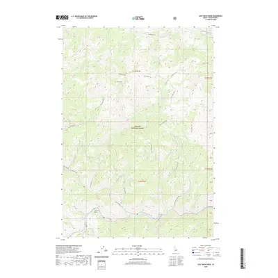
2020 Map of East Basin Creek
USGS Topo · Published 2020About this map
Challis National Forest dominates this Custer County landscape, where deep drainages and steep ridgelines define the terrain north of the Salmon River. The river forms a prominent curve at Mormon Bend, a landmark that anchors the southern portion of the map. High-elevation hydrology is a central feature here, with East Basin Lake feeding into the intricate network of E Basin Cr and its many tributaries.
Find a feature on this map
36 named features on this map. Tap any name to fly to it.
Don’t see what you’re looking for? This feature index may not catch every label — zoom into the map to look around manually.
Map Details
Editions of this 2020 East Basin Creek Map
This is the sole edition of this map. No revisions or reprints were ever made.
Other maps of this area

1919 · Custer
USGS Topo · 1:125,000

1922 · Custer
USGS Topo · 1:125,000

1957 · Challis
USGS Topo · 1:250,000

1960 · Challis
USGS Topo · 1:250,000

1963 · Challis
USGS Topo · 1:250,000

1963 · Custer
USGS Topo · 1:24,000

1963 · Stanley
USGS Topo · 1:24,000

1963 · Basin Butte
USGS Topo · 1:24,000

1963 · Casino Lakes
USGS Topo · 1:24,000
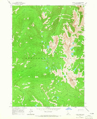
1964 · Knapp Lakes
USGS Topo · 1:24,000