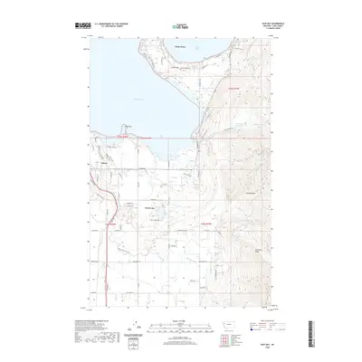
2020 Map of East Bay
USGS Topo · Published 2020About this map
Flathead Lake defines the western edge of this landscape, where the prominent peninsula of Finley Point separates the main waters from Skidoo Bay. Along the southeastern shore, the community of Polson serves as a hub for the surrounding valley, which transitions from the flat shoreline into the rising slopes of the Mission Range. The complex water management system of the area is visible through features like the Polson 1 Canal, Polson 2 Canal, and Bousquet Ditch, which support agriculture across the benchlands. Further inland, Turtle Lake provides a secondary focal point for settlement, while the eastern terrain becomes increasingly steep toward Minesinger Ridge. The inclusion of Hellroaring Reservoir and numerous creeks such as Bisson Cr and Dubay Cr illustrates the vital role of mountain runoff in the local economy and ecology during the early twenty-first century.
Find a feature on this map
89 named features on this map. Tap any name to fly to it.
Don’t see what you’re looking for? This feature index may not catch every label — zoom into the map to look around manually.
Map Details
Editions of this 2020 East Bay Map
This is the sole edition of this map. No revisions or reprints were ever made.
Other maps of this area

1920 · Flathead Lake
USGS Topo · 1:125,000

1955 · Choteau
USGS Topo · 1:250,000

1956 · Wallace
USGS Topo · 1:250,000

1957 · Choteau
USGS Topo · 1:250,000

1958 · Choteau
USGS Topo · 1:250,000

1960 · Wallace
USGS Topo · 1:250,000

1962 · Choteau
USGS Topo · 1:250,000

1964 · Bull Island
USGS Topo · 1:24,000

1964 · Wild Horse Island
USGS Topo · 1:24,000

1964 · East Bay
USGS Topo · 1:24,000