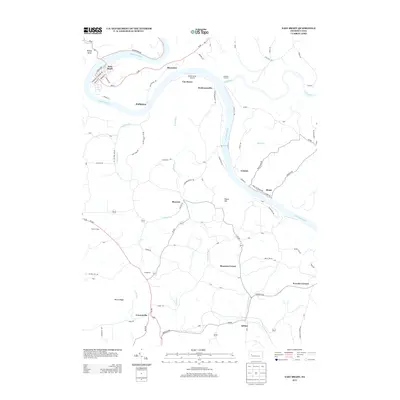
2013 Map of East Brady
USGS Topo · Published 2013About this map
The Allegheny River carves a dramatic series of loops through this Western Pennsylvania landscape, anchoring historical riverfront settlements like East Brady and Phillipston. This modern survey illustrates the persistent imprint of industrial history, most notably at the Redbank Furnace site situated near the confluence with Redbank Cr. The transition from heavy industry to recreational and residential land use is evident in the Rails to Trails Rd corridors that now follow the former rail beds along the riverbanks, passing through communities such as Rimer and Cosmus.
Find a feature on this map
94 named features on this map. Tap any name to fly to it.
Don’t see what you’re looking for? This feature index may not catch every label — zoom into the map to look around manually.
Map Details
Editions of this 2013 East Brady Map
This is the sole edition of this map. No revisions or reprints were ever made.
Other maps of this area

1900 · Kittanning
USGS Topo · 1:62,500

1901 · Rural Valley
USGS Topo · 1:62,500

1902 · Kittanning
USGS Topo · 1:62,500

1903 · Rural Valley
USGS Topo · 1:62,500

1906 · Clarion
USGS Topo · 1:62,500

1907 · Clarion
USGS Topo · 1:62,500

1907 · Foxburg
USGS Topo · 1:62,500

1908 · Foxburg
USGS Topo · 1:62,500

1953 · Pittsburgh
USGS Topo · 1:250,000

1954 · Pittsburgh
USGS Topo · 1:250,000