
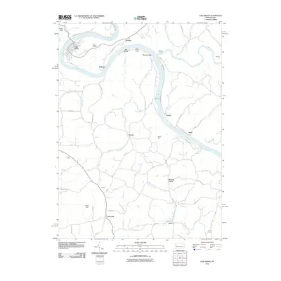
2023 Map of East Brady
USGS Topo · Published 2023About this map
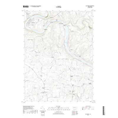
The Allegheny River carves a deep, serpentine path through the borderlands of Clarion and Armstrong Counties, defining the development of riverside settlements like East Brady and Phillipston. This modern survey illustrates the enduring rural character of the region, where legacy transport routes like the Rails To Trl follow the river's edge, replacing the heavy rail traffic that once served these valley towns. The upland areas are defined by a high density of small family and church burial grounds, such as the Crissman Family Cem and Saint Marys Episcopal Cem, reflecting generations of local settlement in communities like Wattersonville, Cowansville, and Sherrett. From the narrow floodplain at Bradys Bend to the ridge-top clearings of Burnt Ridge, the landscape is a complex network of narrow hollows and winding township roads that connect isolated crossroads like Frenchs Corners and Morrows Corner.
Find a feature on this map
113 named features on this map. Tap any name to fly to it.
Don’t see what you’re looking for? This feature index may not catch every label — zoom into the map to look around manually.
Map Details
Editions of this 2023 East Brady Map
This is the sole edition of this map. No revisions or reprints were ever made.
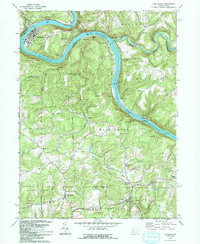
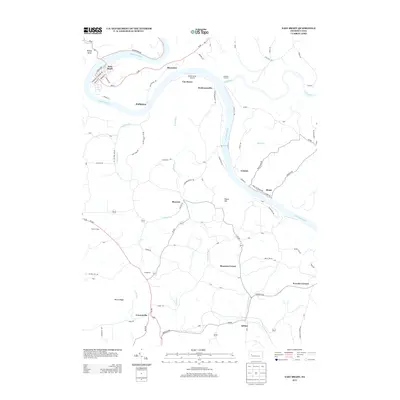
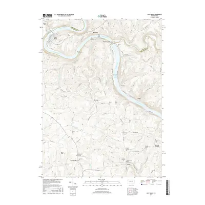
Historical Maps of East Brady Through Time
7 maps found

Featured Locations
- Bradys Bend Township, PA
- West Franklin Township, PA
- Washington Township, PA
- Madison Township, PA
- East Brady, PA