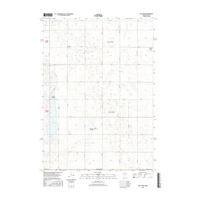
2016 Map of East Chain
USGS Topo · Published 2016About this map
The agricultural landscape of Martin County, Minnesota, is defined by an intricate network of section-line roads and water management systems. The small settlement of East Chain sits near the western shore of E Chain Lake, serving as a central point for this rural township. Evidence of the region's historical family farms and community life are preserved in the locations of Pleasant Prairie Cem and Calkins Farm Cem.
Find a feature on this map
40 named features on this map. Tap any name to fly to it.
Don’t see what you’re looking for? This feature index may not catch every label — zoom into the map to look around manually.
Map Details
Editions of this 2016 East Chain Map
This is the sole edition of this map. No revisions or reprints were ever made.
Other maps of this area
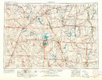
1954 · Fairmont
USGS Topo · 1:250,000
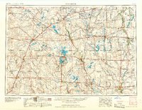
1958 · Fairmont
USGS Topo · 1:250,000
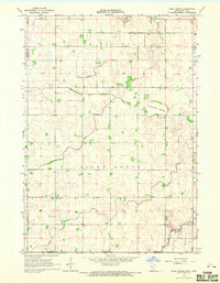
1967 · Pilot Grove
USGS Topo · 1:24,000
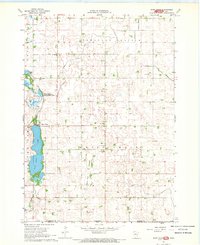
1967 · East Chain
USGS Topo · 1:24,000
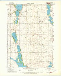
1967 · Wilmert Lake
USGS Topo · 1:24,000
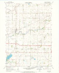
1967 · Granada
USGS Topo · 1:24,000
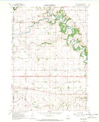
1967 · Huntley
USGS Topo · 1:24,000
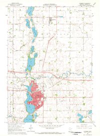
1967 · Fairmont
USGS Topo · 1:24,000
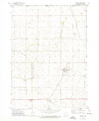
1972 · Ledyard
USGS Topo · 1:24,000
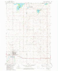
1980 · Armstrong
USGS Topo · 1:24,000