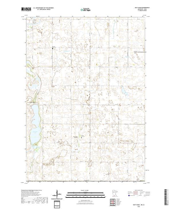
2022 Map of East Chain
USGS Topo · Published 2022About this map
East Chain and its namesake East Chain Lake anchor this agricultural landscape in southern Martin County, near the Iowa border. The terrain is defined by a complex network of glacial remnants and drainage improvements, including the distinctly named Burnt Out Lakebed and extensive water management systems such as County Ditch Number Sixtyfour and County Ditch Number Sixtynine. These ditches feed into local waterways like Little Badger Creek and Slough Creek, illustrating the long-standing efforts to reclaim and maintain productive prairie farmland.
Find a feature on this map
38 named features on this map. Tap any name to fly to it.
Don’t see what you’re looking for? This feature index may not catch every label — zoom into the map to look around manually.
Map Details
Editions of this 2022 East Chain Map
This is the sole edition of this map. No revisions or reprints were ever made.
Other maps of this area

1954 · Fairmont
USGS Topo · 1:250,000

1958 · Fairmont
USGS Topo · 1:250,000

1967 · Pilot Grove
USGS Topo · 1:24,000

1967 · East Chain
USGS Topo · 1:24,000

1967 · Wilmert Lake
USGS Topo · 1:24,000

1967 · Granada
USGS Topo · 1:24,000

1967 · Huntley
USGS Topo · 1:24,000

1967 · Fairmont
USGS Topo · 1:24,000

1972 · Ledyard
USGS Topo · 1:24,000

1980 · Armstrong
USGS Topo · 1:24,000