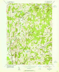
1953 Map of East Chatham
USGS Topo · Published 1955About this map
The New York Central railroad corridor anchors this mid-century survey of the Columbia County countryside, following the natural path of the Stony Kill through East Chatham and Chatham Center. The landscape is a mix of small hamlets and institutional landmarks, notably the Shaker Museum and several rural houses of worship including Veeder Memorial Ch and St Joseph Ch. The map reveals a community defined by its watercourses, with Kinderhook Creek winding through the northern reaches near Brainard and Riders Mills.
Find a feature on this map
36 named features on this map. Tap any name to fly to it.
Don’t see what you’re looking for? This feature index may not catch every label — zoom into the map to look around manually.
Map Details
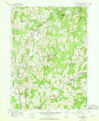
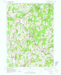
Editions of this 1953 East Chatham Map
3 editions found
Other maps of this area

1888 · Berlin
USGS Topo · 1:62,500

1888 · Pittsfield
USGS Topo · 1:62,500

1890 · Pittsfield
USGS Topo · 1:62,500

1890 · Berlin
USGS Topo · 1:62,500

1893 · Troy
USGS Topo · 1:62,500

1893 · Pittsfield
USGS Topo · 1:62,500

1894 · Berlin
USGS Topo · 1:62,500

1894 · Pittsfield
USGS Topo · 1:62,500

1895 · Troy
USGS Topo · 1:62,500

1897 · Pittsfield
USGS Topo · 1:62,500