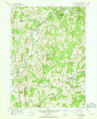
1953 Map of East Chatham
USGS Topo · Published 1968About this map
Kinderhook Creek and the New York Central railroad corridor shape the human geography of this Columbia County landscape in the early 1950s. The map documents a network of rural hamlets including Old Chatham and East Chatham, where transportation and local industry once clustered. Evidence of long-standing community life is visible in the numerous small burial grounds and spiritual centers such as the Veeder Memorial Ch and Mountain View Cem.
Find a feature on this map
42 named features on this map. Tap any name to fly to it.
Don’t see what you’re looking for? This feature index may not catch every label — zoom into the map to look around manually.
Map Details
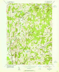
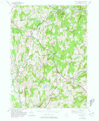
Editions of this 1953 East Chatham Map
3 editions found
Other maps of this area

1888 · Berlin
USGS Topo · 1:62,500

1888 · Pittsfield
USGS Topo · 1:62,500

1890 · Pittsfield
USGS Topo · 1:62,500

1890 · Berlin
USGS Topo · 1:62,500

1893 · Troy
USGS Topo · 1:62,500

1893 · Pittsfield
USGS Topo · 1:62,500

1894 · Berlin
USGS Topo · 1:62,500

1894 · Pittsfield
USGS Topo · 1:62,500

1895 · Troy
USGS Topo · 1:62,500

1897 · Pittsfield
USGS Topo · 1:62,500