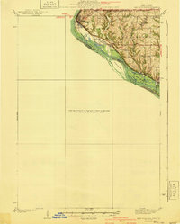
1940 Map of East Dubuque
USGS Topo · Published 1940About this map
Mississippi River islands and bluffs define this 1935 survey along the tristate border area of Illinois, Wisconsin, and Iowa. The industrial and transit hub of East Dubuque occupies the northern riverbank, where the Chicago Illinois Burlington and Quincy railroad tracks parallel the water’s edge. This transit corridor was essential for the movement of goods between the river valley and the interior plains, supporting the small settlements and rural school districts that dotted the uplands.
Find a feature on this map
23 named features on this map. Tap any name to fly to it.
Don’t see what you’re looking for? This feature index may not catch every label — zoom into the map to look around manually.
Map Details
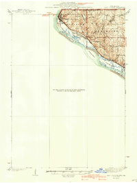
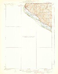
Editions of this 1940 East Dubuque Map
3 editions found
Other maps of this area
1891 · Maquoketa
USGS Topo · 1:62,500
1891 · Baldwin
USGS Topo · 1:62,500

1900 · Lancaster
USGS Topo · 1:125,000
1901 · Peosta
USGS Topo · 1:125,000
1902 · Mineral Point
USGS Topo · 1:125,000

1904 · Lancaster
USGS Topo · 1:125,000

1908 · Lancaster
USGS Topo · 1:125,000
1911 · Galena
USGS Topo · 1:62,500
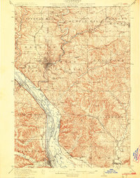
1913 · Galena
USGS Topo · 1:62,500
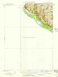
1935 · East Dubuque
USGS Topo · 1:62,500