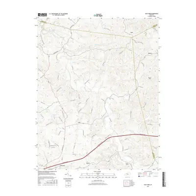
2016 Map of East Fork
USGS Topo · Published 2016About this map
Edmonton serves as a primary hub in this southern Kentucky landscape, where the Cumberland Parkway cuts across a complex drainage system defined by the East Fork Little Barren River. The geography is characterized by small, established crossroads like Cork, Mell, and Keltner, connected by a web of local routes including Edmonton Rd and Greensburg Rd. Many of these roads bear the names of local families, such as Elbert Blaydes Rd and Jimmy Hubbard Rd, providing a clear record of land ownership and lineage in the region.
Find a feature on this map
79 named features on this map. Tap any name to fly to it.
Don’t see what you’re looking for? This feature index may not catch every label — zoom into the map to look around manually.
Map Details
Editions of this 2016 East Fork Map
This is the sole edition of this map. No revisions or reprints were ever made.
Other maps of this area

1953 · Gradyville
USGS Topo · 1:24,000

1953 · Sulphur Well
USGS Topo · 1:24,000

1953 · Breeding
USGS Topo · 1:24,000

1953 · Edmonton
USGS Topo · 1:24,000

1953 · Summer Shade
USGS Topo · 1:24,000

1953 · Exie
USGS Topo · 1:24,000

1953 · Gresham
USGS Topo · 1:24,000

1953 · Center
USGS Topo · 1:24,000

1953 · East Fork
USGS Topo · 1:24,000

1956 · Corbin
USGS Topo · 1:250,000