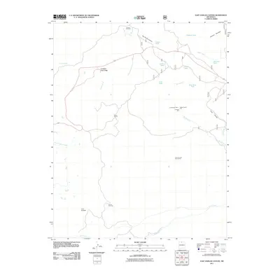
2011 Map of East Gavilan Canyon
USGS Topo · Published 2011About this map
The Tierra Amarilla Grant Benton land grant defines much of this high-elevation landscape in northern New Mexico, where extractive industries and seasonal ranching have long shaped the terrain. In the central hills, a cluster of mining sites including the Old Buckhorn Mine, Hidden Treasure Mine, and Headstone Mine indicate a history of mineral prospecting near the drainage of the Rio Vallecitos. Further north, Hooker Sawmill points to the area's timber resources, while scattered outposts like Crowther Cow Camp, Peterson Cow Camp, and Johnson Cow Camp reveal the enduring importance of livestock grazing across the canyons.
Find a feature on this map
34 named features on this map. Tap any name to fly to it.
Don’t see what you’re looking for? This feature index may not catch every label — zoom into the map to look around manually.
Map Details
Editions of this 2011 East Gavilan Canyon Map
This is the sole edition of this map. No revisions or reprints were ever made.
Other maps of this area

1918 · Tusas
USGS Topo · 1:125,000

1954 · Aztec
USGS Topo · 1:250,000

1955 · Cebolla
USGS Topo · 1:62,500

1955 · Brazos Peak
USGS Topo · 1:62,500

1958 · Aztec
USGS Topo · 1:250,000

1962 · Aztec
USGS Topo · 1:250,000

1963 · Broke Off Mountain
USGS Topo · 1:24,000

1963 · Burned Mountain
USGS Topo · 1:24,000
1963 · Canon Plaza
USGS Topo · 1:24,000

1965 · Aztec
USGS Topo · 1:250,000