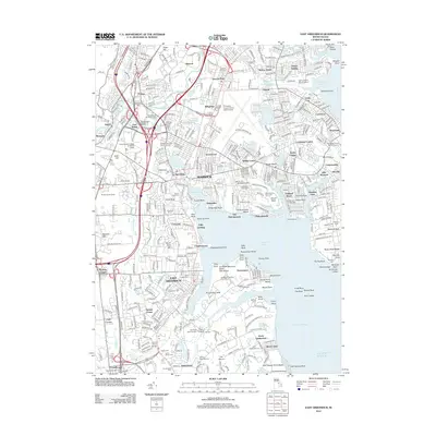
2012 Map of East Greenwich
USGS Topo · Published 2012About this map
Warwick and East Greenwich sit along the complex western shoreline of Narragansett Bay in this 2012 Rhode Island study. The landscape is dominated by the sprawling infrastructure of the Theodore Francis Green State Airport in Hillsgrove, balanced by the coastal conservation of Goddard Memorial State Park Beach and Potowomut Neck. This map reveals a maritime and aviation hub where residential growth in neighborhoods like Apponaug, Nausauket, and Conimicut meets the historical remnants of early Rhode Island industry. Genealogists and local researchers can locate numerous small burial yards, including the Old Forge Burial Ground, Quidnessett Cem, and the Robert Edmonds Burial Ground. Significant landmarks such as Warwick Light on Warwick Neck and the Allens Grist Mill near Hunt River offer touchstones for the area's transition from colonial mills to a modern coastal center.
Find a feature on this map
145 named features on this map. Tap any name to fly to it.
Don’t see what you’re looking for? This feature index may not catch every label — zoom into the map to look around manually.
Map Details
Editions of this 2012 East Greenwich Map
This is the sole edition of this map. No revisions or reprints were ever made.
Other maps of this area

1887 · Providence
USGS Topo · 1:62,500

1889 · Providence
USGS Topo · 1:62,500

1889 · Burrillville
USGS Topo · 1:62,500

1890 · Narragansett Bay
USGS Topo · 1:62,500

1890 · Kent
USGS Topo · 1:62,500

1892 · Narragansett Bay
USGS Topo · 1:62,500

1894 · Burrillville
USGS Topo · 1:62,500

1894 · Kent
USGS Topo · 1:62,500

1894 · Providence
USGS Topo · 1:62,500

1915 · Burrillville
USGS Topo · 1:62,500