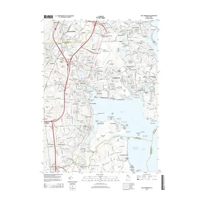
2015 Map of East Greenwich
USGS Topo · Published 2015About this map
Greenwich Bay and the surrounding coastline of the Warwick area define this 2015 study. The landscape is characterized by its dense network of suburban settlements and historic family burial lots, such as the Robert Edmonds Burial Ground and the Governor Samuel Gorton Lot. The coastal geography is intricate, featuring many points and necks like Chepiwanoxet Point and Potowomut Neck, alongside significant recreation areas like Goddard Memorial State Park.
Find a feature on this map
166 named features on this map. Tap any name to fly to it.
Don’t see what you’re looking for? This feature index may not catch every label — zoom into the map to look around manually.
Map Details
Editions of this 2015 East Greenwich Map
This is the sole edition of this map. No revisions or reprints were ever made.
Other maps of this area

1887 · Providence
USGS Topo · 1:62,500

1889 · Providence
USGS Topo · 1:62,500

1889 · Burrillville
USGS Topo · 1:62,500

1890 · Narragansett Bay
USGS Topo · 1:62,500

1890 · Kent
USGS Topo · 1:62,500

1892 · Narragansett Bay
USGS Topo · 1:62,500

1894 · Burrillville
USGS Topo · 1:62,500

1894 · Kent
USGS Topo · 1:62,500

1894 · Providence
USGS Topo · 1:62,500

1915 · Burrillville
USGS Topo · 1:62,500