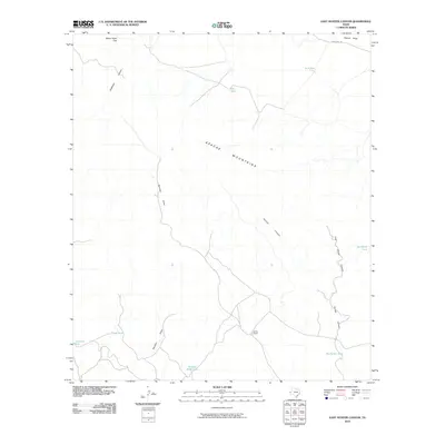
2010 Map of East Hunter Canyon
USGS Topo · Published 2010About this map
The Apache Mountains dominate this arid landscape in West Texas, where drainage patterns and essential water infrastructure define the geography of the modern ranching era. The map traces the winding paths of Hunter Canyon and East Hunter Canyon, alongside the prominent Sacaton Draw and Clayton Draw. These dry watercourses are punctuated by essential livestock tanks such as No 4 Tank, Alto Tank, and Buchanan Tank, illustrating the critical role of water management in this high-desert environment.
Find a feature on this map
16 named features on this map. Tap any name to fly to it.
Don’t see what you’re looking for? This feature index may not catch every label — zoom into the map to look around manually.
Map Details
Editions of this 2010 East Hunter Canyon Map
This is the sole edition of this map. No revisions or reprints were ever made.
Other maps of this area

1906 · Van Horn
USGS Topo · 1:125,000

1928 · Kent
USGS Topo · 1:125,000

1954 · Van Horn
USGS Topo · 1:250,000

1958 · Van Horn
USGS Topo · 1:250,000
1964 · Goat Canyon
USGS Topo · 1:24,000
1964 · Plateau
USGS Topo · 1:24,000
1970 · Boracho
USGS Topo · 1:24,000
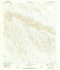
1970 · East Hunter Canyon
USGS Topo · 1:24,000
1970 · Panther Canyon
USGS Topo · 1:24,000
1970 · Fencepost Draw
USGS Topo · 1:24,000