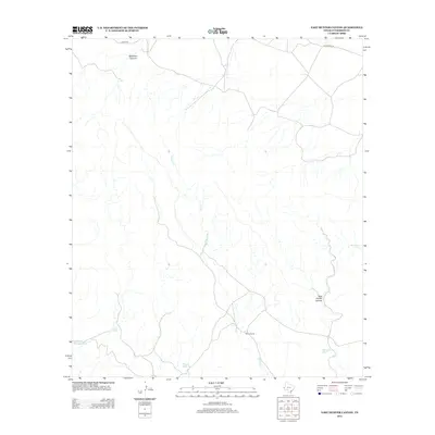
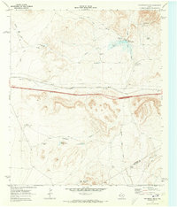
2012 Map of East Hunter Canyon
USGS Topo · Published 2012About this map
Sacaton Cr winds through this arid expanse of Culberson County, defining a landscape where water management was essential for ranching survival. This 2012 survey documents the persistent human footprint in a remote West Texas environment, notably at Gentry Ranch and along the drainages of East Hunter Canyon and Deadman Canyon. The map reveals a network of vital water catchments, such as Powder Bluff Tank, Buckhorn Tank, and Jose Tank, which underscore the region's reliance on localized infrastructure for livestock. Transportation is anchored by rural corridors including 7 Heart Rd and Jones-Kent Rd, providing a detailed view of the connectivity between isolated holdings and more traveled routes during the early 21st century.
Find a feature on this map
13 named features on this map. Tap any name to fly to it.
Don’t see what you’re looking for? This feature index may not catch every label — zoom into the map to look around manually.
Map Details
Editions of this 2012 East Hunter Canyon Map
This is the sole edition of this map. No revisions or reprints were ever made.
Other maps of this area
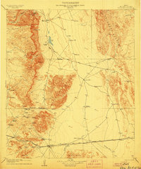
1906 · Van Horn
USGS Topo · 1:125,000
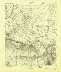
1928 · Kent
USGS Topo · 1:125,000

1954 · Van Horn
USGS Topo · 1:250,000

1958 · Van Horn
USGS Topo · 1:250,000
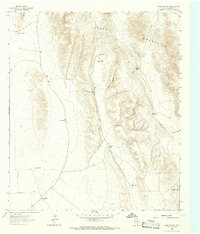
1964 · Goat Canyon
USGS Topo · 1:24,000
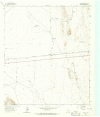
1964 · Plateau
USGS Topo · 1:24,000
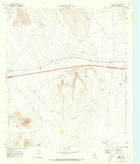
1970 · Boracho
USGS Topo · 1:24,000
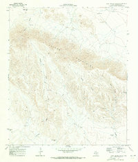
1970 · East Hunter Canyon
USGS Topo · 1:24,000
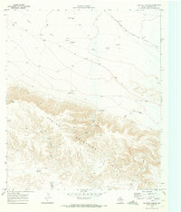
1970 · Panther Canyon
USGS Topo · 1:24,000
1970 · Fencepost Draw
USGS Topo · 1:24,000