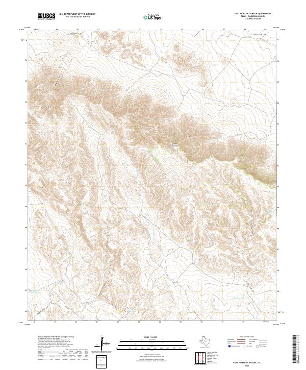
2022 Map of East Hunter Canyon
USGS Topo · Published 2022About this map
The Apache Mountains dominate this West Texas landscape, where the elevation changes and drainage patterns define the territory. Arid canyons like Deadman Canyon, Hunter Canyon, and East Hunter Canyon cut through the high ground, while the lower elevations are marked by a network of ephemeral water sources critical for ranching and survival. The presence of named water catchments such as Buckhorn Tank, Buchanan Tank, and Powder Bluff Tank illustrates the historical and contemporary reliance on seasonal moisture in Culberson County. Human activity is sparse but specific, centered around the Seven Heart Ps and the lone passage of Jones-Kent Rd. The topography is further shaped by the winding paths of Sacaton Draw and Clayton Draw, providing a detailed look at the drainage systems that feed into Sacaton Cr.
Find a feature on this map
14 named features on this map. Tap any name to fly to it.
Don’t see what you’re looking for? This feature index may not catch every label — zoom into the map to look around manually.
Map Details
Editions of this 2022 East Hunter Canyon Map
This is the sole edition of this map. No revisions or reprints were ever made.
Other maps of this area

1906 · Van Horn
USGS Topo · 1:125,000

1928 · Kent
USGS Topo · 1:125,000

1954 · Van Horn
USGS Topo · 1:250,000

1958 · Van Horn
USGS Topo · 1:250,000
1964 · Goat Canyon
USGS Topo · 1:24,000
1964 · Plateau
USGS Topo · 1:24,000
1970 · Boracho
USGS Topo · 1:24,000
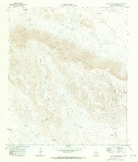
1970 · East Hunter Canyon
USGS Topo · 1:24,000
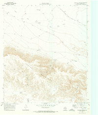
1970 · Panther Canyon
USGS Topo · 1:24,000
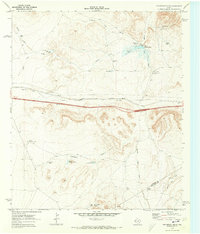
1970 · Fencepost Draw
USGS Topo · 1:24,000