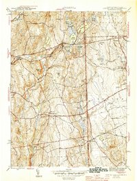
1945 Map of East Killingly
USGS Topo · Published 1945About this map
East Killingly and the surrounding borderlands of Connecticut and Rhode Island are defined by a complex network of reservoirs and narrow stream valleys during the mid-1940s. The landscape is heavily industrial yet rural, with the Fivemile River powering settlements like Ballouville in the northwest, while the eastern portion of the map is dominated by the high ground of Jerimoth Hill and Mt Hygeia. This era shows a dense infrastructure of textile-era water management, including the Eddy Pray Reservoir, Middle Reservoir, and Alvia Chase Reservoir, which supported the mills and communities along Whetstone Brook. Genealogists will find significant detail in the rural districts, where scattered local institutions like Valley Sch and the Titus Sch served families living between the rocky heights of Mashentuck Mountain and the swampy lowlands of Honey pot Swamp. The map also captures the early automotive routes of the Hartford Pike and Danielson Pike as they cross the state line into Foster.
Find a feature on this map
67 named features on this map. Tap any name to fly to it.
Don’t see what you’re looking for? This feature index may not catch every label — zoom into the map to look around manually.
Map Details
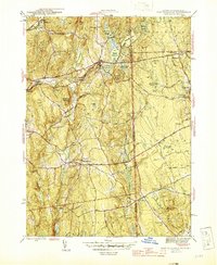
Editions of this 1945 East Killingly Map
2 editions found
Other maps of this area

1889 · Putnam
USGS Topo · 1:62,500

1889 · Burrillville
USGS Topo · 1:62,500

1889 · Moosup
USGS Topo · 1:62,500

1890 · Kent
USGS Topo · 1:62,500

1893 · Putnam
USGS Topo · 1:62,500

1893 · Moosup
USGS Topo · 1:62,500

1894 · Burrillville
USGS Topo · 1:62,500

1894 · Kent
USGS Topo · 1:62,500

1915 · Burrillville
USGS Topo · 1:62,500

1919 · Putnam
USGS Topo · 1:62,500