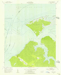
1953 Map of East Lake
USGS Topo · Published 1956About this map
East Lake and its surrounding wetlands occupy the heart of this mid-century survey along the Dare and Tyrrell County line. The settlement of East Lake is clustered along a single road, supported by East Lake Landing on the nearby shoreline. The map reveals the precarious nature of development in this coastal region, where small pockets of activity like Lake Neighborhood are situated between the vast reaches of Albemarle Sound and the intricate channels of the Alligator River.
Find a feature on this map
29 named features on this map. Tap any name to fly to it.
Don’t see what you’re looking for? This feature index may not catch every label — zoom into the map to look around manually.
Map Details
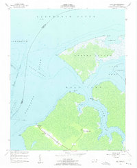
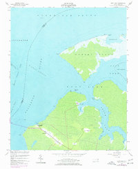
Editions of this 1953 East Lake Map
Other maps of this area

1940 · Powells Point
USGS Topo · 1:62,500

1940 · Wade Point
USGS Topo · 1:62,500

1943 · Wade Point
USGS Topo · 1:62,500

1943 · Columbia
USGS Topo · 1:125,000

1943 · Roanoke Island
USGS Topo · 1:125,000

1946 · Eastville
USGS Topo · 1:250,000

1946 · Currituck Sound
USGS Topo · 1:250,000

1948 · Wade Point
USGS Topo · 1:62,500

1953 · Norfolk
USGS Topo · 1:250,000

1953 · Buffalo City
USGS Topo · 1:24,000