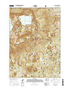
2017 Map of East Lake
USGS Topo · Published 2017About this map
East Lake rests at the heart of the Newberry Crater complex, a massive volcanic feature dominating the Deschutes National Forest. This landscape is defined by its geological recentness, featuring the Central Pumice Cone and the surrounding Paulina Mountains. The sheet captures the intricate terrain of the Crater Rim, where elevations rise sharply to North Paulina Peak on the northwest edge. Beyond the caldera, the landscape is punctuated by numerous volcanic landforms, including Sand Butte, Topso Butte, and Cinder Cone. A network of forest development roads, such as Nat For Dev Rd 21 and Newberry #1, provides access to these geologic sites. Small interior water bodies like Lost Lake and the western reach of Paulina Lake are visible, along with a specialized mining site labeled Silica near the volcano's western slopes.
Find a feature on this map
44 named features on this map. Tap any name to fly to it.
Don’t see what you’re looking for? This feature index may not catch every label — zoom into the map to look around manually.
Map Details
Editions of this 2017 East Lake Map
This is the sole edition of this map. No revisions or reprints were ever made.
Other maps of this area
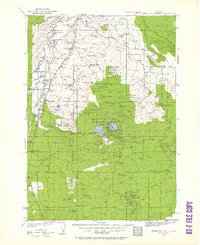
1931 · Newberry Crater
USGS Topo · 1:125,000
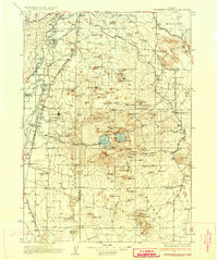
1935 · Newberry Crater
USGS Topo · 1:125,000

1955 · Crescent
USGS Topo · 1:250,000

1957 · Crescent
USGS Topo · 1:250,000

1958 · Crescent
USGS Topo · 1:250,000
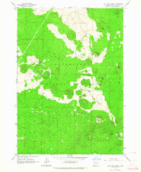
1963 · Lava Cast Forest
USGS Topo · 1:24,000
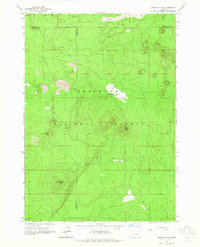
1963 · Spring Butte
USGS Topo · 1:24,000
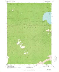
1963 · Paulina Peak
USGS Topo · 1:24,000
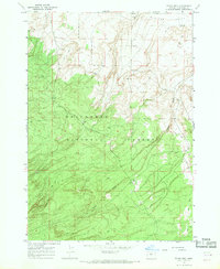
1967 · Evans Well
USGS Topo · 1:24,000
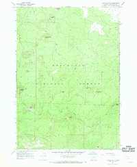
1967 · Fuzztail Butte
USGS Topo · 1:24,000