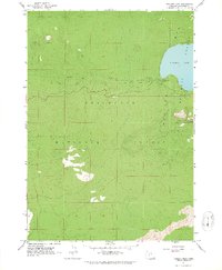
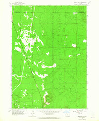
1963 Map of Paulina Peak
USGS Topo · Published 1965About this map
Newberry Crater and its high volcanic rim dominate this mid-century topographic survey of the Deschutes National Forest. The landscape is defined by the sharp elevation change between Paulina Lake at over 6,300 feet and the towering Paulina Peak, which served as a critical vantage point with its established Lookout. This era of forest management is evidenced by the Guard Station and the recreational development at Paulina Lake Campground. The drainage of the caldera is traced through Paulina Creek, which drops over Paulina Creek Falls as it flows westward. Geologic interests are well-marked, from the sprawling fields of Lava in the southern reaches to the specialized Surveyors Ice Cave and various Cinder Pit extractions used for road material.
Find a feature on this map
17 named features on this map. Tap any name to fly to it.
Don’t see what you’re looking for? This feature index may not catch every label — zoom into the map to look around manually.
Map Details
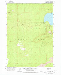
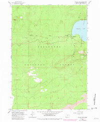
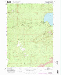
Editions of this 1963 Paulina Peak Map
4 editions found
Other maps of this area

1931 · Newberry Crater
USGS Topo · 1:125,000

1935 · Newberry Crater
USGS Topo · 1:125,000

1955 · Crescent
USGS Topo · 1:250,000

1957 · Crescent
USGS Topo · 1:250,000

1958 · Crescent
USGS Topo · 1:250,000
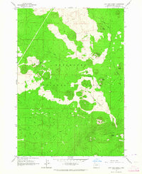
1963 · Lava Cast Forest
USGS Topo · 1:24,000
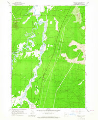
1963 · Anns Butte
USGS Topo · 1:24,000
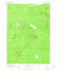
1963 · Spring Butte
USGS Topo · 1:24,000
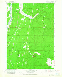
1963 · Finley Butte
USGS Topo · 1:24,000
1963 · Moffitt Butte
USGS Topo · 1:24,000