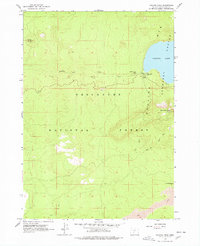
1963 Map of Paulina Peak
USGS Topo · Published 1978About this map
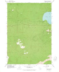
Paulina Lake sits at the heart of this volcanic landscape within the Deschutes National Forest, where high-elevation terrain is defined by the Newberry Crater Mts. The 1963 field check reveals a developed recreational and administrative infrastructure, including a Guard Station, the Paulina Lake Campground, and a Lookout perched atop Paulina Peak. This era of the forest's history is marked by a mix of natural wonders and early resource extraction, evidenced by the Surveyors Ice Cave and an active Cinder Pit. Drainage from the lake flows westward via Paulina Creek, dropping over Paulina Falls and Paulina Creek Falls. Extensive Jeep Trails and the Paulina Peak Trail indicate the established path network used for forest management and back-country access during the mid-20th century.
Find a feature on this map
18 named features on this map. Tap any name to fly to it.
Don’t see what you’re looking for? This feature index may not catch every label — zoom into the map to look around manually.
Map Details
Editions of this 1963 Paulina Peak Map
4 editions found
Other maps of this area

1931 · Newberry Crater
USGS Topo · 1:125,000

1935 · Newberry Crater
USGS Topo · 1:125,000

1955 · Crescent
USGS Topo · 1:250,000

1957 · Crescent
USGS Topo · 1:250,000

1958 · Crescent
USGS Topo · 1:250,000
1963 · Lava Cast Forest
USGS Topo · 1:24,000
1963 · Anns Butte
USGS Topo · 1:24,000
1963 · Spring Butte
USGS Topo · 1:24,000
1963 · Finley Butte
USGS Topo · 1:24,000
1963 · Paulina Peak
USGS Topo · 1:24,000