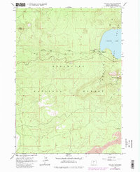
1963 Map of Paulina Peak
USGS Topo · Published 1981About this map
Newberry Crater dominates this volcanic landscape, with the high rim rising to the Paulina Peak Lookout. The caldera basin contains Paulina Lake, a deep blue water body that feeds the westward-flowing Paulina Creek. This survey, field-checked in the early 1960s with 1970s revisions, illustrates the specialized recreation and infrastructure within the Deschutes National Forest, including the Guard Station and multiple camps like Paulina Lake Campground.
Find a feature on this map
17 named features on this map. Tap any name to fly to it.
Don’t see what you’re looking for? This feature index may not catch every label — zoom into the map to look around manually.
Map Details
Editions of this 1963 Paulina Peak Map
4 editions found
Other maps of this area

1931 · Newberry Crater
USGS Topo · 1:125,000

1935 · Newberry Crater
USGS Topo · 1:125,000

1955 · Crescent
USGS Topo · 1:250,000

1957 · Crescent
USGS Topo · 1:250,000

1958 · Crescent
USGS Topo · 1:250,000
1963 · Lava Cast Forest
USGS Topo · 1:24,000
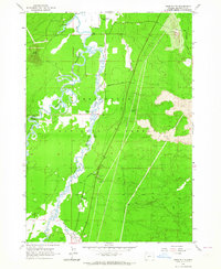
1963 · Anns Butte
USGS Topo · 1:24,000
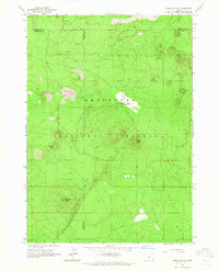
1963 · Spring Butte
USGS Topo · 1:24,000
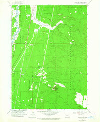
1963 · Finley Butte
USGS Topo · 1:24,000
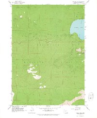
1963 · Paulina Peak
USGS Topo · 1:24,000