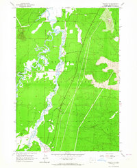
1963 Map of Anns Butte
USGS Topo · Published 1964About this map
Camp Abbot (Site) sits at the northern edge of this high-desert landscape, marking the grounds of the former World War II engineer replacement training center. The terrain is defined by the winding course of the Deschutes River and the Little Deschutes River, which converge amidst the meadows of Paulina Prairie. This 1963 survey captures the area's transition from military site to ranching and recreation, showing established operations like Vandevert Ranch and Montgomery Ranch alongside the Big River Campground.
Find a feature on this map
29 named features on this map. Tap any name to fly to it.
Don’t see what you’re looking for? This feature index may not catch every label — zoom into the map to look around manually.
Map Details
Editions of this 1963 Anns Butte Map
3 editions found
Other maps of this area

1930 · Maiden Peak
USGS Topo · 1:125,000

1931 · Newberry Crater
USGS Topo · 1:125,000

1934 · Maiden Peak
USGS Topo · 1:125,000

1935 · Newberry Crater
USGS Topo · 1:125,000

1955 · Crescent
USGS Topo · 1:250,000

1957 · Crescent
USGS Topo · 1:250,000

1958 · Crescent
USGS Topo · 1:250,000
1963 · Lava Cast Forest
USGS Topo · 1:24,000
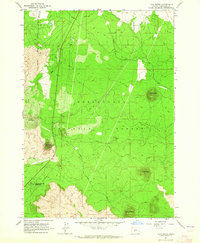
1963 · Lava Butte
USGS Topo · 1:24,000
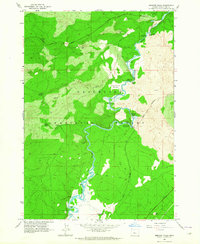
1963 · Benham Falls
USGS Topo · 1:24,000