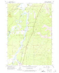
1963 Map of Anns Butte
USGS Topo · Published 1975About this map
Camp Abbot (Site) marks the northern portion of this landscape where the Deschutes River and Little Deschutes River converge within the Deschutes National Forest. The geography is defined by volcanic features, with a prominent lava flow dominating the eastern half of the quadrangle, contrasted by the wet meadows of Paulina Prairie to the south. Transportation and ranching history are evident through the Great Northern railroad line and family-held lands such as Vandevert Ranch and Montgomery Ranch. A solitary grave near Stearns Airfield and the settlement at Stearns provide specific points of interest for genealogists tracing early inhabitants of this river-basin region. The presence of several cinder pits and gravel pits suggests the local industry was tied closely to the unique basaltic geology of the high desert.
Find a feature on this map
26 named features on this map. Tap any name to fly to it.
Don’t see what you’re looking for? This feature index may not catch every label — zoom into the map to look around manually.
Map Details
Editions of this 1963 Anns Butte Map
3 editions found
Other maps of this area

1930 · Maiden Peak
USGS Topo · 1:125,000

1931 · Newberry Crater
USGS Topo · 1:125,000

1934 · Maiden Peak
USGS Topo · 1:125,000

1935 · Newberry Crater
USGS Topo · 1:125,000

1955 · Crescent
USGS Topo · 1:250,000

1957 · Crescent
USGS Topo · 1:250,000

1958 · Crescent
USGS Topo · 1:250,000
1963 · Lava Cast Forest
USGS Topo · 1:24,000
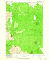
1963 · Lava Butte
USGS Topo · 1:24,000
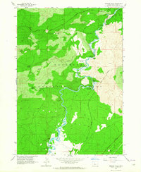
1963 · Benham Falls
USGS Topo · 1:24,000